Important! When IFTDSS includes the ability to compare landscape treatment alternatives using the LBP model, the Fire Size List will be used in subsequent model runs to hold the ignition locations constant. This is important to understand the effect of changes to fuels and forest structure on resultant fire behavior.
The Fire Size List file is only available in the download package from IFTDSS.
The Fire Size list is a text file that contains information about all the random ignitions in a LBP run.
The file contains the following information:
- FireNum - the fire number, a unique identifier for each ignition
- XStart - the horizontal coordinate of the ignition point in meters
- YStart - the vertical coordinate of the ignition point in meters
- Acres - the final fire size in acres
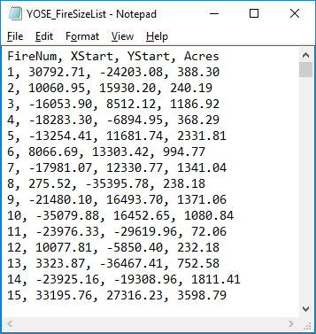
The Fire Size List can be opened with a text editor program such as NotePad for viewing, a spreadsheet program such as Excel for further analysis, or imported into a GIS such as ArcMap for geospatial viewing or further analysis. Below is an example of a Fire Size List opened with Notepad.
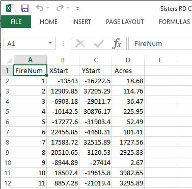
Below is an example of a Fire Size List opened with Excel.
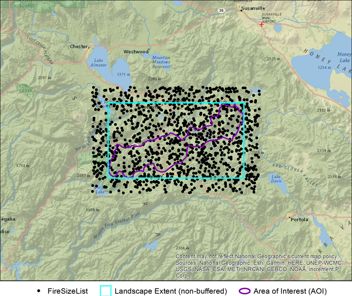
Below is an example of a Fire Size List imported into ArcMap for viewing.