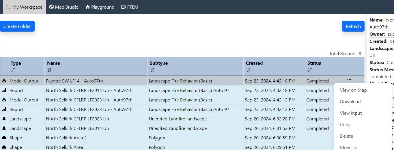
Landscape Fire Behavior outputs can be downloaded for use outside of IFTDSS. This can be done from either My Workspace or My Modeling Playground by right clicking on the model output file to show the file options, then clicking Download.
Downloading
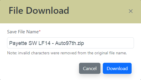
When the "File Download" window opens, by default the folder will have the same Run Name you selected when running Landscape Fire Behavior. If you prefer to change the run name for use on your on your computer you can click on the name field and type a different name, this will not change the name in IFTDSS.
The individual files within the downloaded zip folder are prefixed with the original or modified <Run Name>. Once extracted, the folder includes:
| Output | File Type | Naming | Brief Description |
|---|---|---|---|
| Multiband GeoTIFF | .tif | <Run Name>.tif | Landscape Fire Behavior outputs in raster format for use in ArcMap. See the table below for more detail. |
| metadata | .xml | <Run Name>.xml and .ovr | Metadata describing the GeoTIFF file, for use in ArcMap |
| Input File | .input | <Run Name>_FlamMap6.input | Landscape Fire Behavior inputs for use in FlamMap 6.0. See the FlamMap Inputs topic for more detail. |
| Symbology | .lyr | <outputtype>.lyr | Symbology file for setting colors in ArcMap that match those used in IFTDSS. |
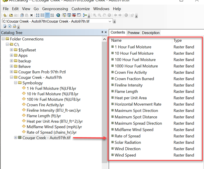
Layers (also known as bands) included in the GeoTIFF are listed in the table below.
| Band # | Band Name | Units - GeoTIFF | Units - IFTDSS (Report) |
|---|---|---|---|
| 1 | Flame Length | meters | feet |
| 2 | Rate of Spread | meters/min | chains/hr |
| 3 | Fireline Intensity | kW/m | BTU/ft-sec |
| 4 | Heat per Unit Area | kJ/m2 | BTU/ft2 |
| 5 | Crown Fire Activity | class | class |
| 6 | Midflame Wind Speed | mph | N/A |
| 7 | Horizontal Movement Rate | meters/min | N/A |
| 8 | Maximum Spread Direction | degrees | degrees |
| 9 | Maximum Spot Direction | degrees | N/A |
| 10 | Maximum Spot Distance | meters | N/A |
| 11 | Crown Fraction BurnedA | proportion | N/A |
| 12 | 20 Ft Wind Direction B | degrees | N/A |
| 13 | 20 Ft Wind Speed | mph | N/A |
| 14 | Solar Radiation | W/m2 | N/A |
| 15 | 1-hr Fuel Moisture A | proportion | N/A |
| 16 | 10-hr Fuel Moisture A | proportion | N/A |
| 17 | 100-hr Fuel Moisture A | proportion | N/A |
| 18 | 1000-hr Fuel Moisture A,C | proportion | N/A |
A GeoTIFF values for non-burnable pixels are 0.000000 unless the GeoTIFF download was request prior to 6/24/19.
B If Uphill or Downhill wind direction was selected during the model run, the wind direction will be displayed on the GeoTIFF raster grid as -1 for uphill winds, -2 for downhill winds.
C 1000 Hour fuel moisture will always be equal to 100 Hour fuel moisture in the GeoTIFF download.
The screenshot below shows an example of the layers in a Landscape Fire Behavior GeoTIFF in ArcCatalog. In the image the <Run Name> was Cougar Creek - Auto97th.