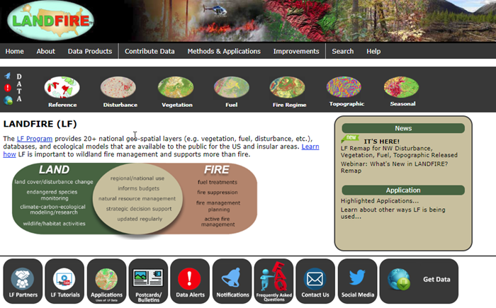
LANDFIRE (LF), Landscape Fire and Resource Management Planning Tools, is a shared program between the wildland fire management programs of the U.S. Department of Agriculture Forest Service and U.S. Department of the Interior, providing landscape scale geo-spatial products to support cross-boundary planning, management, and operations.
Data used by IFTDSS
Landscapes created in IFTDSS are copied from the LANDFIRE product service. LANDFIRE landscape (.LCP) files downloaded in IFTDSS are in a multi-band raster format used by wildland fire behavior and fire effect simulation models such as FARSITE and FlamMap. The bands of an .LCP file store data describe terrain, tree canopy, and surface fuel. This .LCP file utilizes LANDFIRE data, including the optional crown fuel bands but currently not including the optional surface fuel bands. Users can specify Fire Behavior Fuel Model 13 or 40. The following versions of LANDFIRE data are currently available in IFTDSS:
| LANDFIRE Version | Availability | Description |
|---|---|---|
|
LANDFIRE 2024 (LF 2024 / FL 2.5.0) |
Conterminous United States, Alaska, and Hawaii |
Accounts for disturbances up through September 30, 2024 |
| LANDFIRE 2023 (LF 2023 / LF 2.4.0) | Conterminous United States, Alaska, and Hawaii |
Includes adjustments to vegetation and fuels in disturbed areas for disturbances recorded in 2023. In LF 2023, disturbances from the previous year are represented in current year products. However, LF 2023 marks the first version where only the past year is represented. Whereas LF 2022 included 2 years of disturbance (2021 and 2022) the LF 2023 Update includes only one year of disturbance (2023). |
| LANDFIRE 2022 (LF 2022 / LF 2.3.0) | Conterminous United States, Alaska, and Hawaii | Includes adjustments to vegetation and fuels in disturbed areas for disturbances recorded in 2020-2022. |
Some versions may only be edited with User-created edit rules in IFTDSS:
| LANDFIRE Version | Location | Default Fuels Treatment Edit Rule | User Created Edit Rule |
|---|---|---|---|
|
LANDFIRE 2024 (LF 2024 / LF 2.5.0)
|
Alaska |
No | Yes |
|
Lower 48 |
No |
Yes |
|
|
Hawaii |
No |
Yes |
|
| LANDFIRE 2023 (LF 2023 / LF 2.4.0) | Lower 48 | No | Yes |
| Alaska | No | Yes | |
| Hawaii | No | Yes | |
| LANDFIRE 2022 (LF 2022 / LF 2.3.0) | Lower 48 | No | Yes |
| Alaska | No | Yes | |
| Hawaii | No | Yes |
For full details, see the LANDFIRE Versions Help Topic.
More About LANDFIRE

Visit LANDFIRE's website to learn more about the program and its other data products
Want to provide input on LANDFIRE data? Visit Landfire's Contact Form
