Note: The fire behavior calculations for this model are the product of fire behavior libraries developed by the Missoula Fire Sciences Laboratory , Missoula, MT.
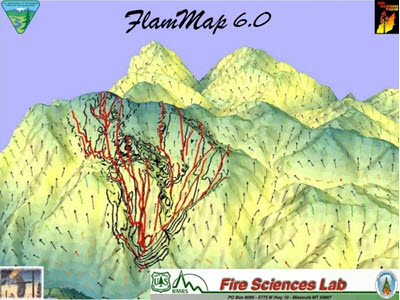
 In IFTDSS, Landscape Fire Behavior uses the same fire behavior calculations as FlamMap. FlamMap is a fire behavior mapping and analysis software application that computes potential fire behavior characteristics (such as spread rate, flame length, and fireline intensity) over an entire landscape under constant weather and fuel moisture conditions input by the user. FlamMap simulates surface and crown fire behavior characteristics using Rothermel’s 1972 surface fire model, Van Wagner’s 1977 crown fire initiation model, and Rothermel’s 1991 crown fire spread model for a single instance in time.
Landscape Fire Behavior with FlamMap simulates head fire across the landscape.
Fuel Moisture
Fuel moistures required to run FlamMap include 1,10, and 100 hour fuels, and live woody and herbaceous fuels. These fuel moistures remain constant for the duration of the FlamMap run. In IFTDSS, you have the option of entering one set of fuel moistures for the entire landscape, or specifying a unique set of fuel moistures for each fire behavior fuel model on your landscape. For list of ways to estimate or reference fuel moisture values, see Fuel Moistures.
Winds
Wind is one of the most influential environmental factors affecting wildland fire behavior. Terrain causes changes in wind speed as air flows over it. Directional changes also occur due to channeling of the flow. The complex terrain and vegetation of fire-prone landscapes causes local changes in wind speed and direction that are not predicted well by standard weather models or expert judgment.
Gridded Wind (WindNinja)
IFTDSS uses WindNinja (USFS 2018) to compute spatially varying wind fields for landscape model runs. Keep in mind, WindNinja does not predict wind for future times, rather it simulates the spatial variation of wind for one instant in time making it ideal for model runs in IFTDSS. WindNinja uses the wind direction and wind speed data input by IFTDSS Users during the Landscape Fire Behavior input process.
WindNinja uses information that is already part of a landscape model run. The landscape file provides elevation to simulate wind flow across your area and canopy characteristics and surface fuel model to approximate the drag effect that vegetation has on wind flow.
Resolution
The WindNinja resolution used by IFTDSS depends upon your landscape size;
| Landscape size (in 30m pixels) | Resolution (meters) |
|---|---|
| <500,000 | 30 |
| 500,000 - 2,000,000 | 60 |
| 2,000,000 - <4,500,000 | 90 |