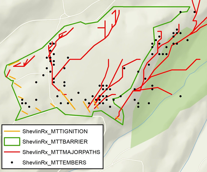
Tip: MTT Embers is only available in the download package and is not displayed in Map Studio.
Embers is a shapefile contained in the Minimum Travel Time Fire Spread (MTT) download package. The shapefile shows where live embers landed. These locations are not necessarily where spot fires occur; an ember could land but not ignite the fuels.
Ember influence on Arrival Time
If an ember lands, the landing time is compared to the current arrival time, the earlier time then becomes the arrival time. Any point can have it's arrival time replaced with a lower one regardless if the lower time is the result of another ember or surface fire spread.
The following attribution is part of the MTT Ember shapefile:
-
LaunchX - X coordinate of the live ember launch,
-
LaunchY - Y coordinate of the live ember launch,
-
LandX - X coordinate of the live ember landing,
-
LandY - Y coordinate of the live ember landing,
-
LaunchTime - simulation time (in minutes) when the live ember was lofted from a torching tree,
-
LandTime - simulation time when the live ember landed (in minutes), plus any spotting delay (set to 0 minutes for IFTDSS).