RAWS used in Auto97th Summaries
The Automatic 97th Percentile Landscape Fire Behavior run using 97th percentile fire weather conditions selected from the closest Remote Automated Weather Station (RAWS).
Important! Auto-97th RAWS data is not available for Hawaii.
RAWS Observation Dates
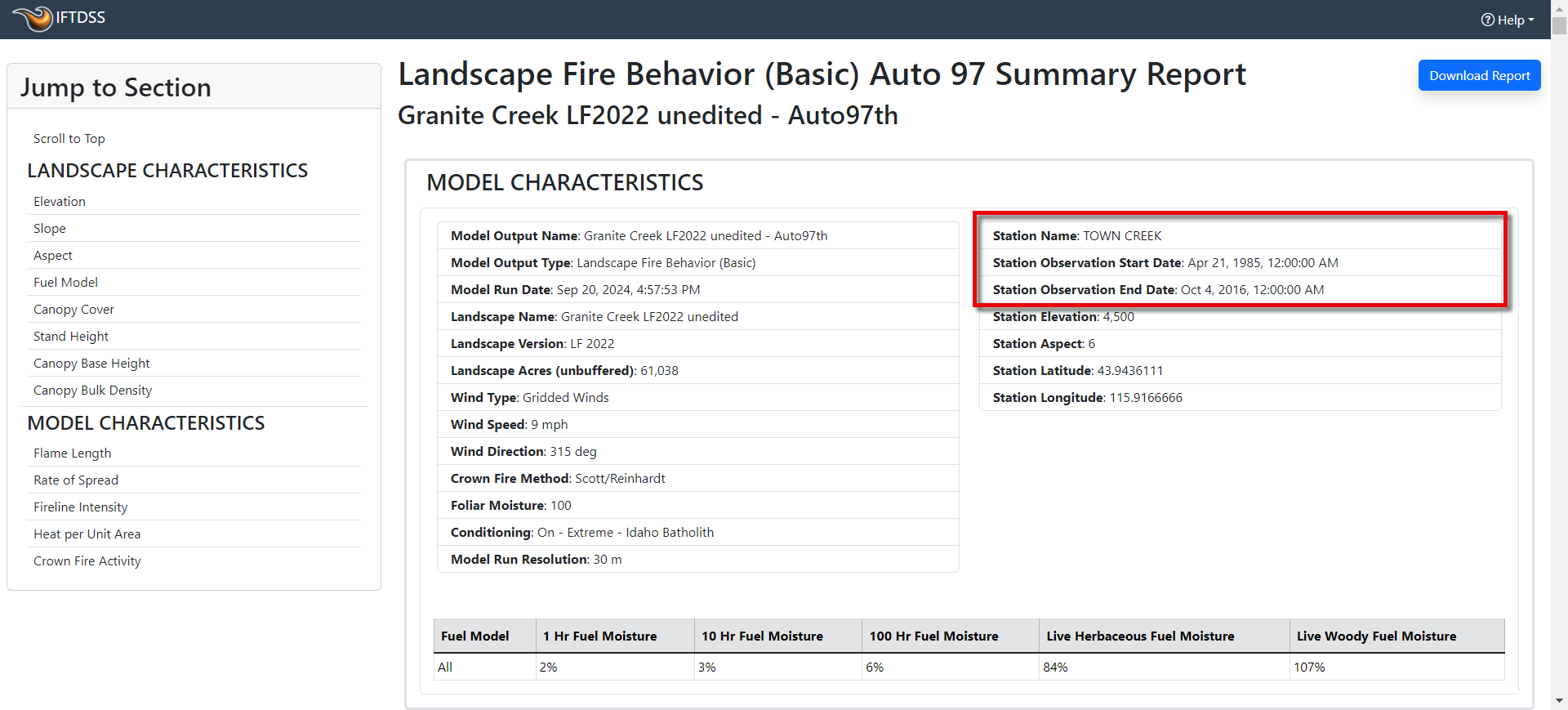
The observation dates for the RAWS in IFTDSS often range from the mid 1980's to 2016 but this may vary by station. See the section below on viewing this data for your specific Auto97th run.
RAWS Location
The closest RAWS is chosen using landscape location as a starting point, then a horizontal/vertical distance algorithm determines the closest RAWS.
Note: The RAWS selection for Auto97th is automatic, you cannot select a different RAWS.
Viewing the RAWS Name and Observation Dates
To view the RAWS name and observation dates used in an Auto97th, you can:
-
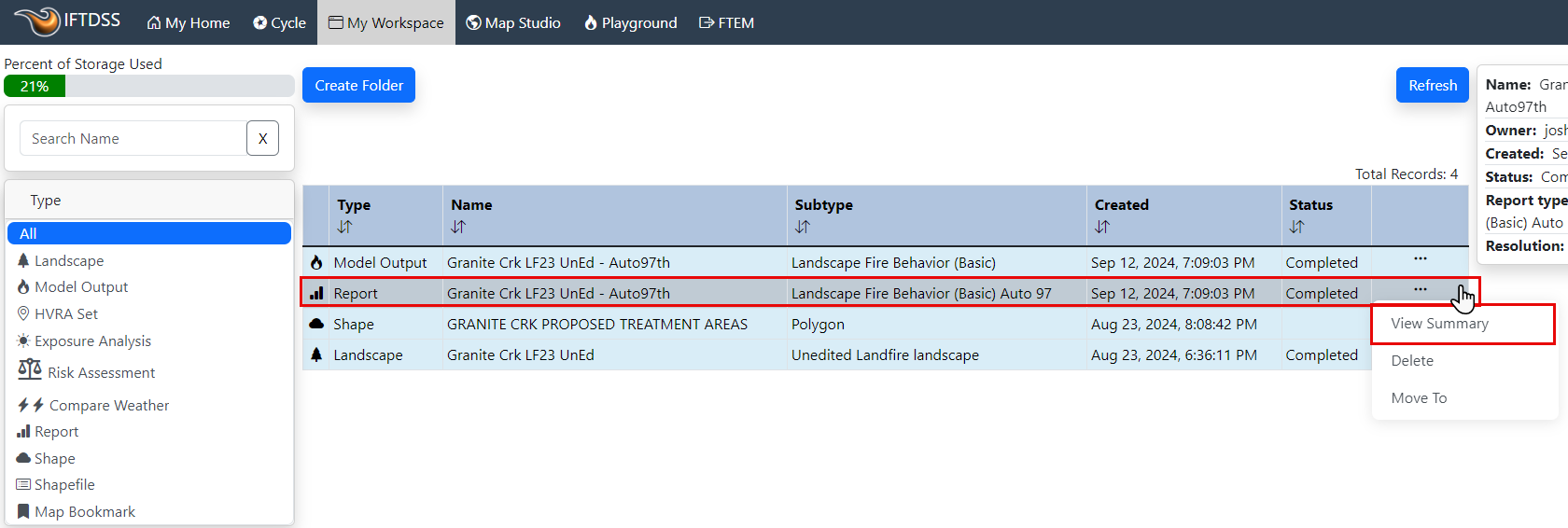
Navigate My Workspace, select your Auto97th report, and click View Summary Report.
-
In the top right column of the report you will see the station name listed.
Documentation on other aspects of Auto97th may be found in the Auto97th Landscape Fire Behavior Report Documentation topic.