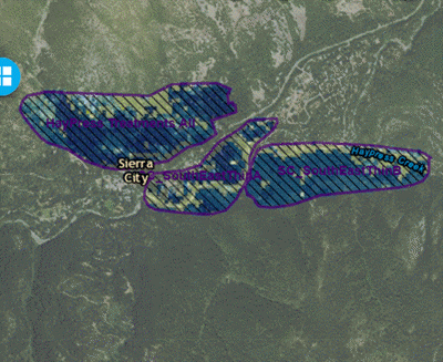
Areas of Interests (AOIs) and Masks in IFTDSS
In IFTDSS you will encounter several terms that are applicable to shapefiles or shapes, including "area of interest", "landscape mask", and "polygons." These terms all describe shapefiles or shapes, but are used in different tasks to reflect the terminology common to those tasks in the wildland fire community. Here is a brief overview of how these terms are used in IFTDSS.
Note: Shapefile vs. Shape?
"Shapefiles" include both the geometric area, as well as accompanying data, these can be uploaded to IFTDSS from your local machine, and are usually created in ArcMap and similar tools.
"Shapes" include only the geometric area, no associated data. These are created in Map Studio either by drawing or copying with Create / Edit Shapes.

Where can you use an AOI in IFTDSS?
You can constrain your analysis with an AOI in:
- Automatic 97th Percentile Landscape Fire Behavior (Auto97th) Reports
- LCP and Modeling summary reports from My Workspace.
- Landscape Editing
- Developing Treatment Alternatives (DTA)
- Map Studio Landscape Tools widget
 - will generate a rectangular landscape around a selected AOI.
Area of Interest and Landscape Mask - Terminology in IFTDSS
Area of Interest indicates that you can select a shapefile or shape to constrain your modeling or analysis to a specific area, such as a treatment unit. This term is used in the Landscape Summary and Determining Treatment Alternatives tasks.
In the Editing Landscape task, you will see the term Landscape Mask used. Landscape Mask will constrain your edits to a specific area.
While we use different terms, Area of Interest and Landscape Mask function in the same way. Consider for example a scenario with a landscape called ‘Shady Basin’ and a treatment unit designated by a shapefile ‘Unit A’. In Editing, you would select Shady Basin as your landscape, and use Landscape Mask dropdown menu to constrain your edits to ‘Unit A’. In modeling fire behavior, you would select your edited landscape, and use the Area of Interest dropdown menu to constrain your modeling to Unit A.