Landscape (.LCP) Files
Where Landscape data comes from
Landscapes in IFTDSS are supplied by LANDFIRE. When you create a landscape with Map Studio's Landscape Tools for example, data is pulled from LANDFIRE to create a copy of that LANDFIRE landscape in IFTDSS. You may use the landscape as-is, or you may make edits to the landscape if what you are seeing does not match the conditions you know to be true on the ground.
Tip: If you already have a landscape file from your forest, park, or region, you can upload that to IFTDSS instead of pulling one from LANDFIRE. Refer to the upload requirements and upload steps for more information.
What composes a Landscape File
A Landscape file (.LCP) is a multi-band raster format commonly used by wildland fire behavior and fire effects models such as FARSITE and FlamMap. The .LCP file defines your project area and is the first input needed to run most models in IFTDSS. LCP's generated in IFTDSS are derived from LANDFIRE.
Click on the statement below to learn more about a specific landscape topic:
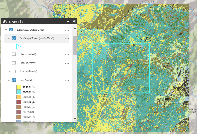
- The bands of an .LCP file store data describing terrain, tree canopy, and fuel model.
- Landscape data is available for LANDFIRE Versions 2024, 2023, and 2022. LANDFIRE version 2025 data is currently being phased in.
- Landscapes created in IFTDSS are automatically given a 4980 meter buffer.
- Landscapes can be uploaded to IFTDSS.
- A "landscape" may be described by different terms depending on what you're doing in IFTDSS.
- Landscape features can sometimes create unexpected combinations.
- Landscapes can be created from the Planning Cycle, in Map Studio, or using the Create Here button, if present.
Tip: Need to view outputs for a specific polygon in Map Studio? Try the Apply Mask option in Layer List ![]() .
.
Scope of Landscape Availability
Landscapes are available for the 50 U.S. states. LANDFIRE landscapes created along an international border will contain data that extends at least 4980 meters outside U.S. borders to accommodate the 4980 meter landscape buffer automatically included with IFTDSS landscapes.

